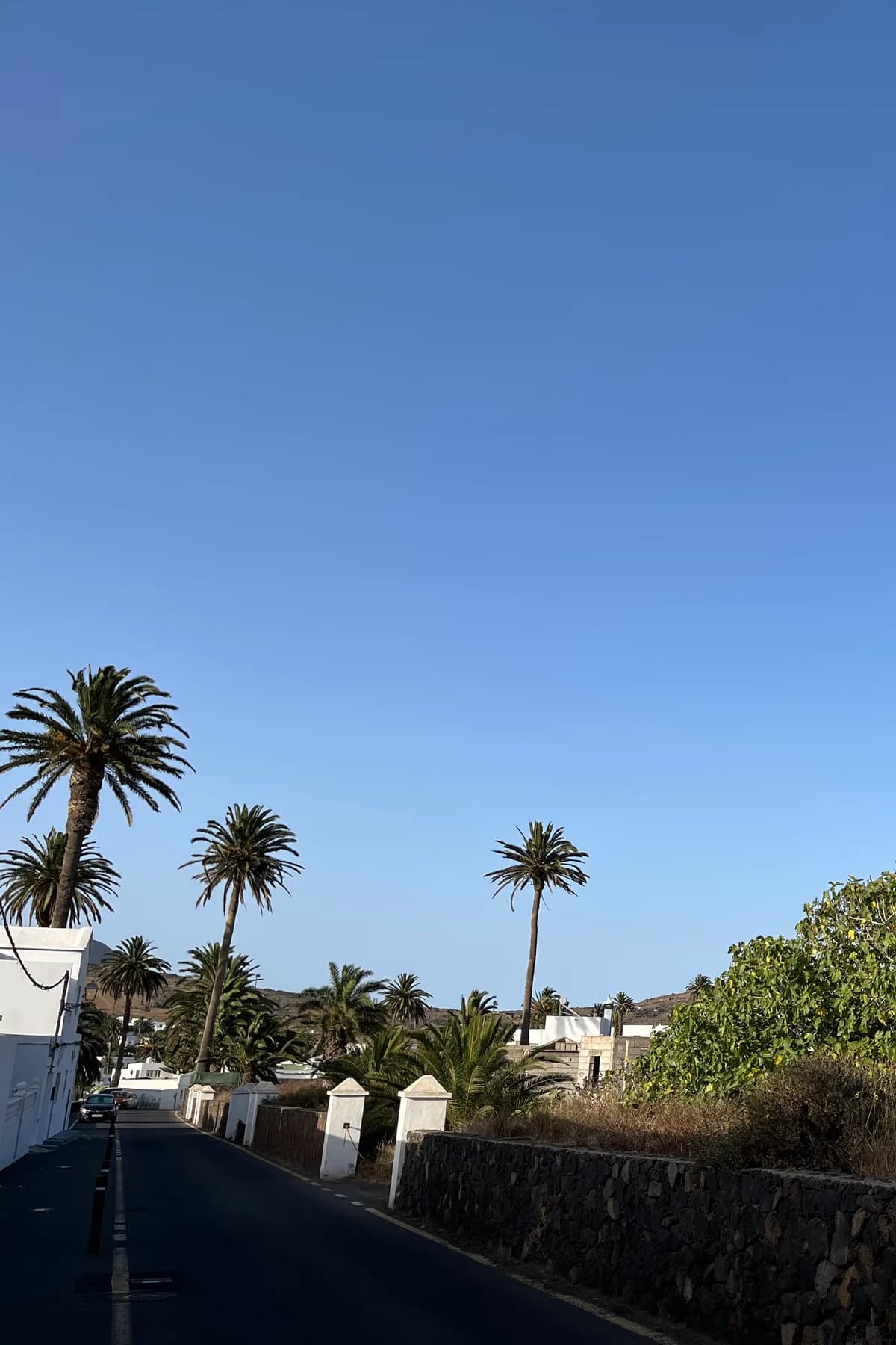
One relaxed half-day, one rental car, and the island's most un-Lanzarote landscapes: that's the north loop. Climb from Teguise past the wind park to the Mirador de Haría, look down on the "valley of a thousand palms" — Haría, the whitewashed village drowning in Phoenix palms — and descend for coffee and craft shops (Saturday: the artisan market; any day: Manrique's last house, now a museum, where his studio remains as he left it). Push north through Máguez to the Mirador de Guinate for the quiet version of the famous cliff view, then round the corona of the Corona volcano to Yé, the Mirador del Río if you want the Manrique classic, and drop to Órzola for a fish lunch. Green valleys, thousand-metre views, zero beach. The island's other personality, before lunchtime.
Everyone knows the Lanzarote of the south: black fields, fire mountains, vines in ash. The north runs different software. The trade-wind clouds snag on the Famara massif and the Corona highlands, squeezing out just enough moisture for real greenery — and the valley of Haría collects it into the island's most surprising landscape: a white village afloat in the largest palm grove on Lanzarote, the fabled "ten thousand palms" (locals say a thousand, poets say ten thousand, the palms decline to be counted). Tradition planted a palm for every child born — two for a boy, one for a girl, says the old formula the village now happily debates — and the result reads from the miradores like an oasis painted into the wrong hemisphere.
Do the loop clockwise for the light. From Teguise the LZ-10 climbs to the Mirador de los Valles and then the Mirador de Haría, where the palm valley opens below and the sea glitters behind — worth ten minutes and thirty photos. Descend into Haría itself and slow down properly: plaza under old trees, café tables, craft workshops, and the town's two quiet treasures — the Saturday artisan market, the island's best for actually-made-here things, and the Casa-Museo César Manrique: the artist's final home, left almost untouched, his studio still holding the unfinished canvas and the brushes — the most intimate of all the Manrique sites and the least crowded (his big public works have their own card; this is the private chapter).
Continue north through Máguez, working-village real, toward the island's green summit country under the Corona volcano — whose crater rim walk is the north's best short hike, and whose ancient eruption built the lava tube of the Cueva de los Verdes and Jameos fame (that geology has its cards). The Mirador de Guinate is the loop's secret handshake: nearly the same staggering view over the strait, La Graciosa and the Chinijo islands as the famous Mirador del Río a little further north — but unbuilt, ungated and usually shared with nobody but the wind. Purists then do both: Guinate for solitude, Manrique's Mirador del Río for the architecture (that cliff-top building is half the point).
Close the circle downhill through Yé — vineyard country on volcanic slopes, the island's highest and freshest — to Órzola, the ferry village to La Graciosa, where the loop earns its lunch: harbourside fish, the white coves of Caletón Blanco (card 76) five minutes south, and, in summer twilight, the eerie calls of shearwaters commuting to the Chinijo colonies (card 74). Total driving: barely forty kilometres. Total climate zones: about four. Best day: any morning the south looks hazy — up here, the same calima often turns the valleys gold instead of grey. The north doesn't shout. It's the island's quiet room, and it's open every day.